
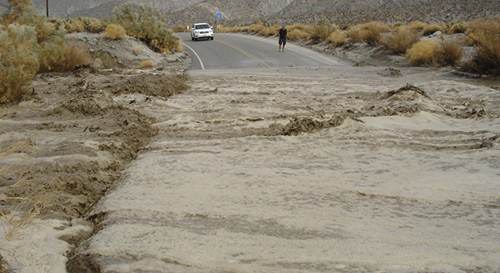
Flooding across Highway 78, San Diego County, Calif. The NASA/Scripps Institution of Oceanography-developed GPS natural hazards warning system was first used in July 2013 by NOAA National Weather Service offices in San Diego and Oxnard, Calif., to forecast a summer monsoon and issue accurate flash flood warnings. Image credit: NOAA
(Visited 15 times, 1 visits today)